File:Mostajo-Radji in Thailand.jpg
Jump to navigation
Jump to search


Size of this preview: 600 × 600 pixels. Other resolutions: 240 × 240 pixels | 480 × 480 pixels | 901 × 901 pixels.
Original file (901 × 901 pixels, file size: 182 KB, MIME type: image/jpeg)
Captions
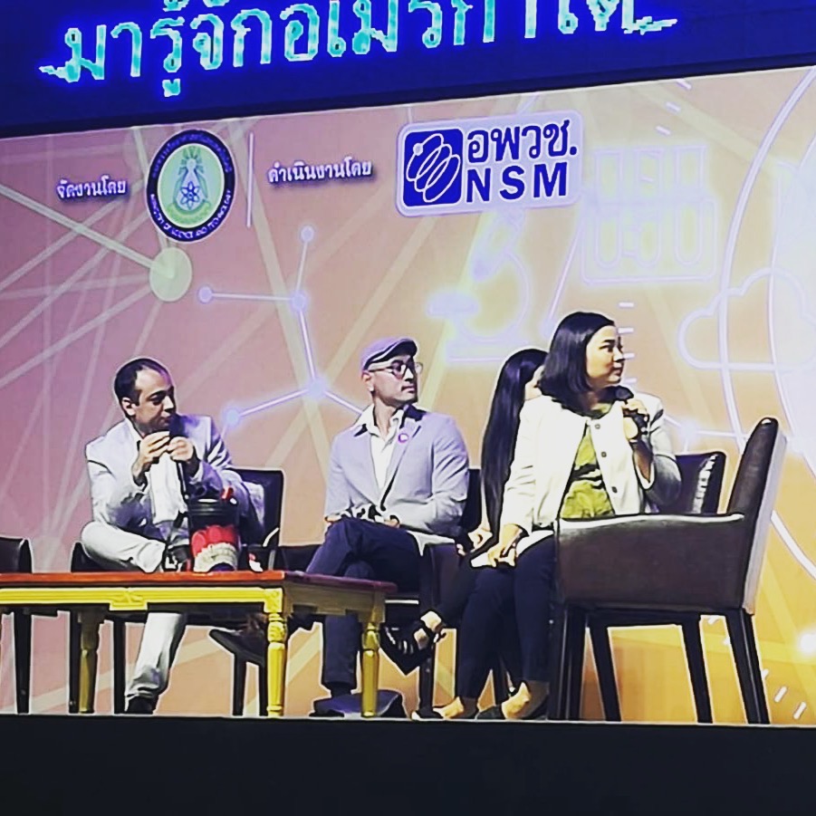
Mostajo-Radji participates in a panel at the Thailand National Science and Technology Fair
Captions
Summary[edit]
| Description |
English: Mostajo-Radji participates in a panel at the Thailand National Science and Technology Fair |
| Date | |
| Source | Own work |
| Author | Mostluve |
| Camera location | | View this and other nearby images on: OpenStreetMap - Google Earth |
|---|
Licensing[edit]
I, the copyright holder of this work, hereby publish it under the following license:
|
This file is licensed under the Creative Commons Attribution-Share Alike 4.0 International license. | |
|
File history
Click on a date/time to view the file as it appeared at that time.
| Date/Time | Thumbnail | Dimensions | User | Comment | |
|---|---|---|---|---|---|
| current | 16:14, 12 July 2020 | | 901 × 901 (182 KB) | Mostluve (talk | contribs) | Uploaded own work with UploadWizard |
You cannot overwrite this file.
File usage on Commons
The following page uses this file:
File usage on other wikis
The following other wikis use this file:
- Usage on en.wikipedia.org